
California, brace yourself.
This past week the National Oceanic and Atmospheric Administration’s (NOAA) Climate Predication Center released a report saying that Pacific Ocean water temperatures are at the right temperatures to brew up some nasty weather on the West Coast this year.
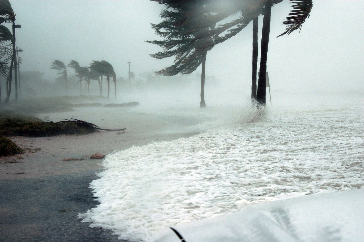
CNN featured the report in a recent story in which they compared this year’s prediction of wet weather may equal or surpass the multitudinous deluges that hit California as a result of the 1997 El Niño.
While the Spanish definition of the weather pattern may mean “little boy”, there’s nothing childlike about the potential of this year’s season.
NOAA was quoted saying that water temperatures rise during El Niño, which “heats up the atmosphere” and alters air patterns around the world, causing the jet stream to “dump more frequent storms over the western U.S.”
The jet stream … becomes stronger and dumps more frequent and intense storms over the western U.S., especially in California.
What makes this year’s El Nino different that past patterns — they happen every two to seven years — is that radar shows raised water temperatures in a large swath along the equator.
A report by FOX News went as far as quoting NOAA’s assertion that this El Niño could be “one of the most potent” in the past “65 years.
The current El Niño is already the second strongest on record .. and could be one of the most potent weather changers of the past 65 years.
While the rainy conditions have yet to materialize over the West Coast, the effects of the supposedly legendary weather pattern have already appeared in the Western Pacific, where five super typhoons have hammered Asia. Typically, the region sees one super typhoon per year.
NOAA’s El Niño page pointed out that the 1997 weather pattern and the 1982-1983 weather pattern were the two most powerful El Niños in the past 30 years.