
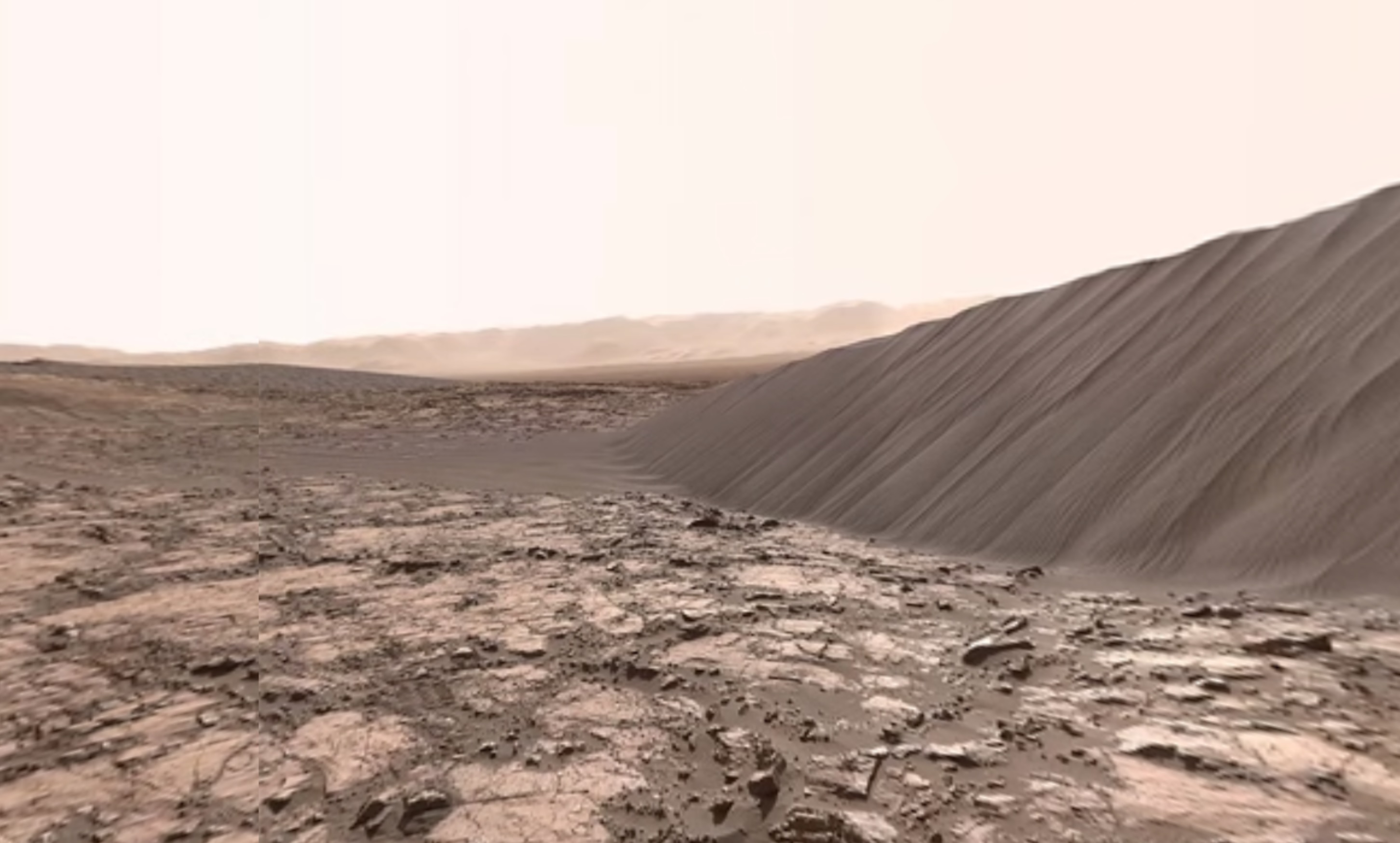
The National Aeronautics and Space Administration (NASA) has released a video of the downwind face of a geological structure on Mars known as “Namib Dune.”
The video, which was captured by Curiosity Mars rover’s Mast Camera (Mastcam) in December of last year, offers a 360 degree view of the world around the robotic rover – which landed on the martian planet’s surface back in August of 2012.
In the video, viewers can catch a glimpse of Mount Sharp on the horizon. Orbital observations made of the area where the images were captured, known as the “Bagnold Dunes,” show that the area’s dunes move up to 3 feet every Earth year.
In order to achieve the desired image output, the brightness and color of the images captured by Curiosity were adjusted. According to NASA’s Jet Propulsion Laboratory (JPL), the color was adjusted in an attempt to bring the appearance of the rock in sands in line with how they would appear under the Sun were they located on Earth.
While it may seem unusual to some, alterations to images is certainly nothing new to the folks at NASA and those they work with. Using data beamed back by NASA’s New Horizons spacecraft, researchers working with the space agency developed a map depicting water ice on the surface of Pluto. But it was only after they adjusted the image using a new method that accounted interference posed by the existence of methane ice that they were able to see the true extent of water ice on the planet’s surface.
The images composing the recently released video of Mars, as seen through the eyes of the Curiosity rover, were captured on December 18, 2015.
JPL published the video on their official YouTube channel on February 8, 2016.